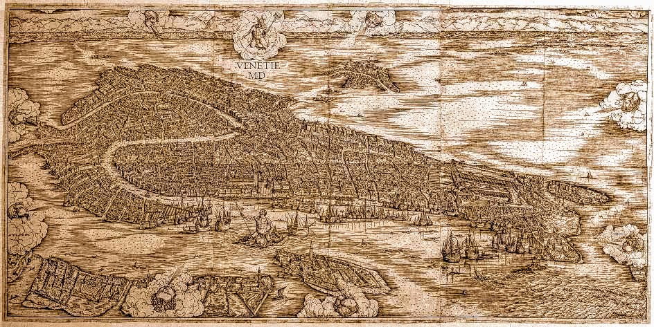
A Map of Venice: 1500
|
We have an excellent idea of how the city of Venice looked in 1500, thanks to a groundbreaking map by Jacopo de' Barbari, which was published in that year.
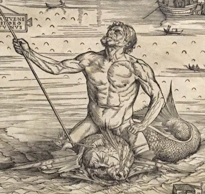
Jacopo de' Barbari's aerial view of Venice, a landmark achievement in both cartography and printmaking, was the first ever bird's-eye view of a city. The map was printed from six large blocks of pear wood onto six sheets of paper (each one 1.34 m by 2.8 m), which were then joined together. Jacopo de' Barbari (c.1460-c.1516) was an Italian painter and print-maker, but the publisher of the map was a German merchant by the name of Anton Kolb. Kolb, who hailed from Nuremberg but lived in Venice, recorded that no woodcut on such a size and using such large blocks had ever been made before. Sheets of paper on such a scale were also unprecedented. The map's most striking feature is its incredible attention to detail and debate still rages as to just how Barbari managed to achieve this. Mercury, the god of trade, and Neptune, the god of the sea, define the north-south axis running through the centre of the city, asserting the mercantile and maritime identity of the venerable Republic of Venice. The six wood blocks have survived and are on display in the Museo Correr. |


